Post
by tedpro » Sun Feb 15, 2009 10:25 pm
GPS Notes for "Goliath"
For those of you going to the Knight Rider: Festival. Here are coordinates for locations to check out.
West of Las Vegas Tour:
Take I-15 South to Blue Diamond Road (NV-160).
Take Blue Diamond Road (NV-160) West 10.5 miles.
Turn right onto (NV-159) toward Red Rock Canyon.
Go 1.8 miles to ZZ Red Rock.
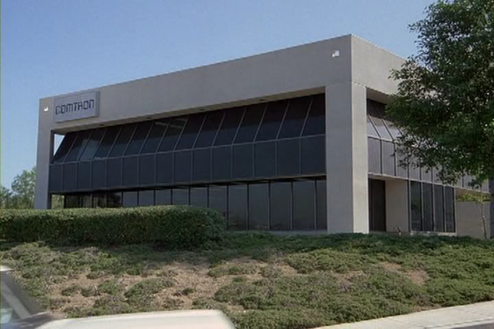
Entrance to CertainTeed Gypsum:
36d 02m 56s N, 115d 23m 04s W, 3300 ft
About 500 feet west of entrance:
36d 02m 57s N, 115d 23m 12s W, 3303 ft
From here you can see the electricity up the driveway (Look NE)
S2:D1:SA: Time index: 00:03:35
36d 03m 04s N, 115d 23m 07s W, 3303 ft
You can also see the rock Ron sees from behind the warehouse. (Look S)
S2:D1:SA: Time index: 00:03:07
36d 02m 40s N, 115d 23m 29s W, 4050 ft
About 1500 feet west of entrance:
36d 02m 58.3s N, 115d 23m 22.5s W, 3310 ft
From here you can see the warehouse where Goliath was built:
S2:D1:SA: Time index: 00:04:02
36d 03m 14.3s N, 115d 23m 12.8s W, 3430 ft
Pull off NV-159 for trail leading to "Goliath" title:
36d 03m 16s N, 115d 24m 59s W, 3430 ft
Walk 600 feet to...
Two signs for "THIS IS NOT A PUBLIC ROAD":
The yellow gate is an entrance to the Blue Diamond Mine.
I stopped here on December 26 & 28, 2008.
36d 03m 20s N, 115d 25m 03s W, 3444 ft
No trespassing beyond this point.
Another 1500 ft beyond the yellow gate is...
The filming location for the opening sequence in "Goliath":
S2:D1:SA: Time index: 0:02:12-0:02:26
36d 03m 35s N, 115d 25m 07s W, 3527 ft
Garthe Drives off in convertible (Look SE):
S2:D1:SA: Time index: 01:16:06
36d 03m 32.5s N, 115d 25m 31.5s W, 3472 ft
Garthe Escapes the FLAG Semi (Look NW):
S2:D1:SA: Time index: 01:15:40
36d 04m 14.2s N, 115d 26m 23.9s W, 3592 ft
You can take NV-159 Charleston Blvd back to Downtown Las Vegas.
East of Las Vegas Tour:
About 4-5 hours of driving to Valley of Fire and back to Las Vegas.
Dry Lake, NV:
Likely place for the preparation area to attack on "Red Bluff"
36d 27m 30s N, 114d 52m 30s W, 1968 ft
Difficult to get to by freeway.
There may be some people at the festival who can verify the location used for "Dry Lake" in the episode.
Go to Valley of Fire:
In the episode, you can see the "Valley of Fire State Park" Sign.
36d 24m 20.5s N, 114d 34m 17.0s W, 2710 ft
followed by...
The gate to "Red Bluff"
36d 24m 21.5s N, 114d 33m 43.8s W, 2580 ft
Look north to see where Michael and KITT pull up to fence.
Look east to see "Red Bluff."
Drive about 8 miles east
You can see Goliath coming from the east toward "Red Bluff" from Elephant Rock
36d 25m 41.5s N, 114d 27m 34.6s W, 1900 ft
Entering from the east and west entrances at the same time?
Enjoy the Knight Rider: Festival!
TedPro - KnightRiderOnline